Cartographic Grounds: The Central Park Case Study
40.7820° N, 73.9660° W
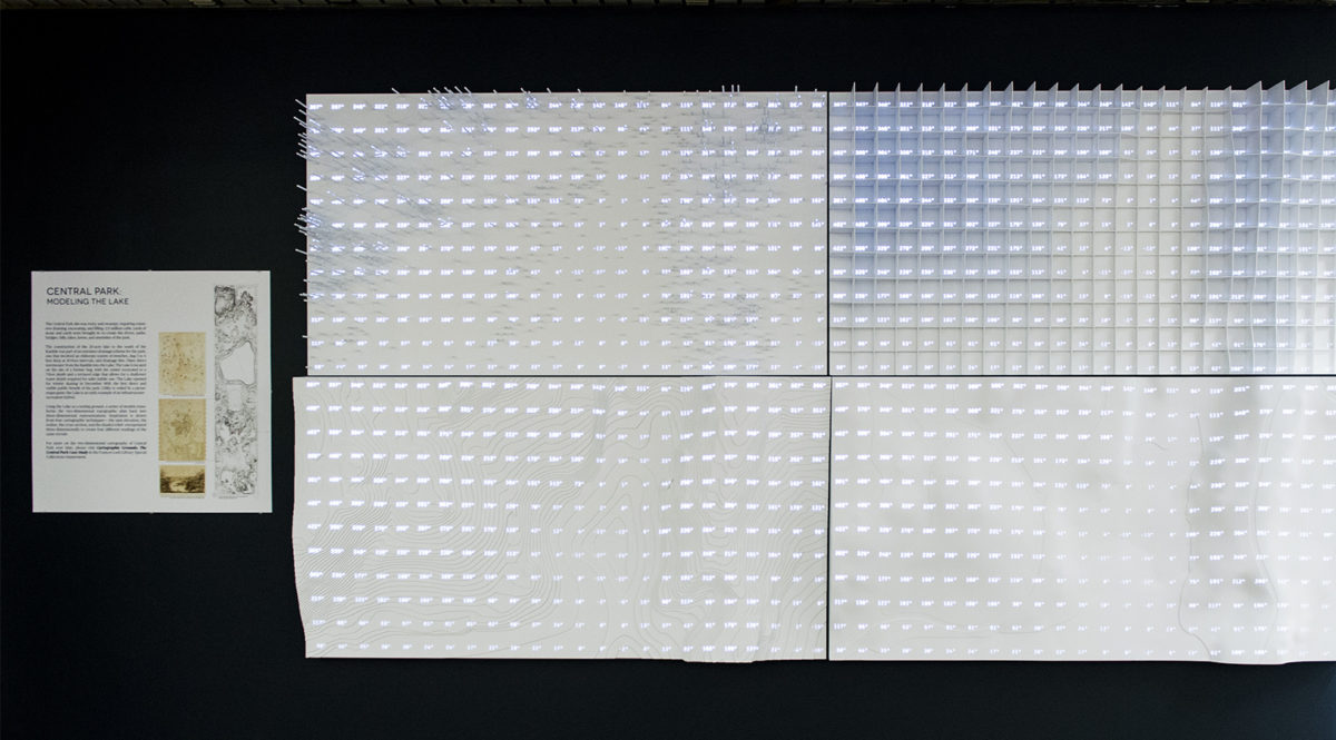
Central Park, with its foundational history within American landscape architecture, has captured the imagination of cartographers, designers, artists, and writers alike. It is more widely referenced in art, film, and literature than any other American public space. This exhibit celebrates the planar representations of this iconic site and highlights the collections of the Frances Loeb Library.
The maps and plans on display were produced by engineers, designers, park commissioners, guidebook publishers, park advocates and cartographers. They tell the story of the park’s transformation from a difficult terrain, cast aside by private development, to a well-loved civic space—while underscoring the notion that Central Park is a highly constructed, meticulously designed, frequently politicized and abundantly documented place. From the subsurface drainage pipes and tiles to the placed boulders, graded hillocks, artificial waterways and ingenious circulation systems, the design and drawings of Central Park touch on all of the themes of the Cartographic Grounds exhibition on view upstairs in the main gallery—subsurface inventions, temporal itineraries, aqueous explorations and terrestrial practices.