Towards Sentience: Attuning the Los Angeles River’s Fluvial Morphology
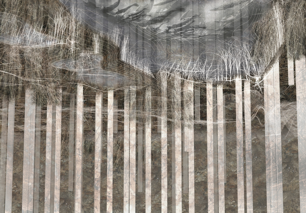
by Leif Estrada (MLA/MDes ’16) — Recipient of the 2016 Thesis Prize This thesis incorporates the…
by Leif Estrada (MLA/MDes ’16) — Recipient of the 2016 Thesis Prize This thesis incorporates the…
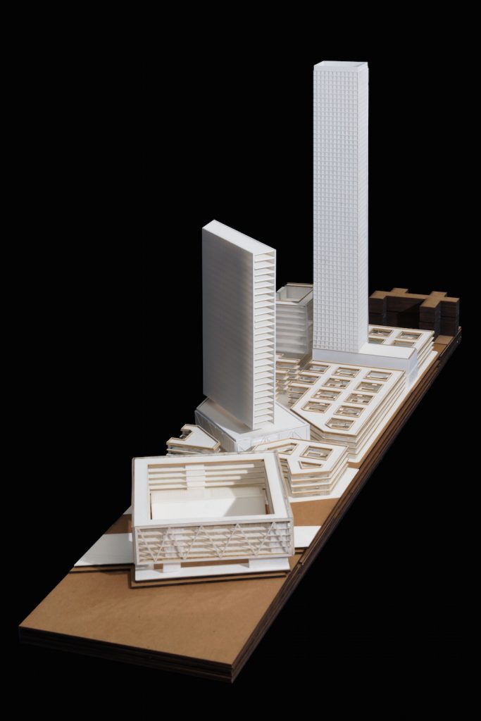
by Liang Wang (MAUD ’17) and Lu Zhang (MAUD ’17) — Recipient of the 2016 Clifford Wong Prize…
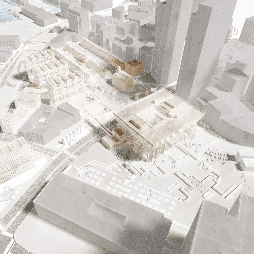
by Trax Yinan Wang (MAUD ’16) — Recipient of the 2016 Thesis Prize This thesis aims to…
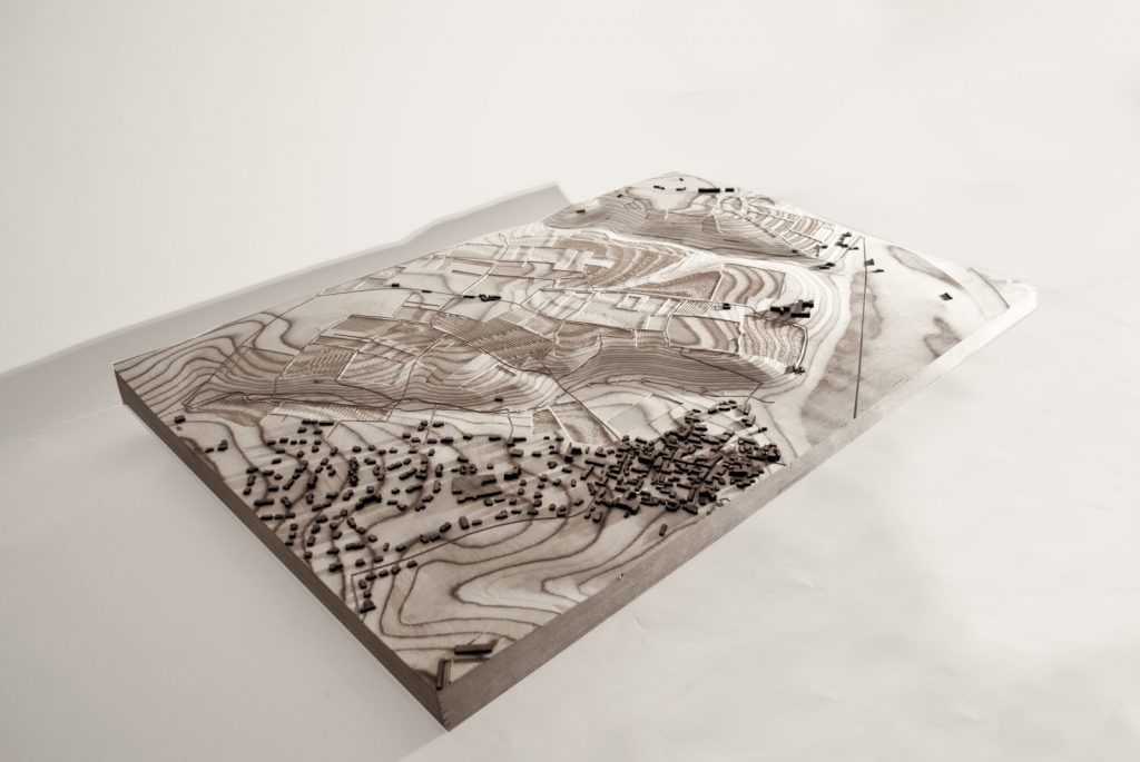
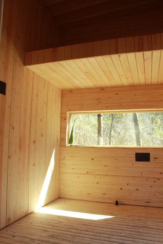
by Alexander Cassini (MLA I ’16) The French concept of terroir claims that characteristics of place…
by Erin Cuevas (MArch II ’16) The proposal in Tokyo addresses the duality between Kawaii…
by David Kennedy (MDes ’16), Jacob Mans (MDes ’16), and Benjamin Peek (MDes ’16)—Recipient of the…
by Oliver Curtis (MDes ’17) This project explores the wildland-urban interface, “wilderburbs,” the growing borderland…
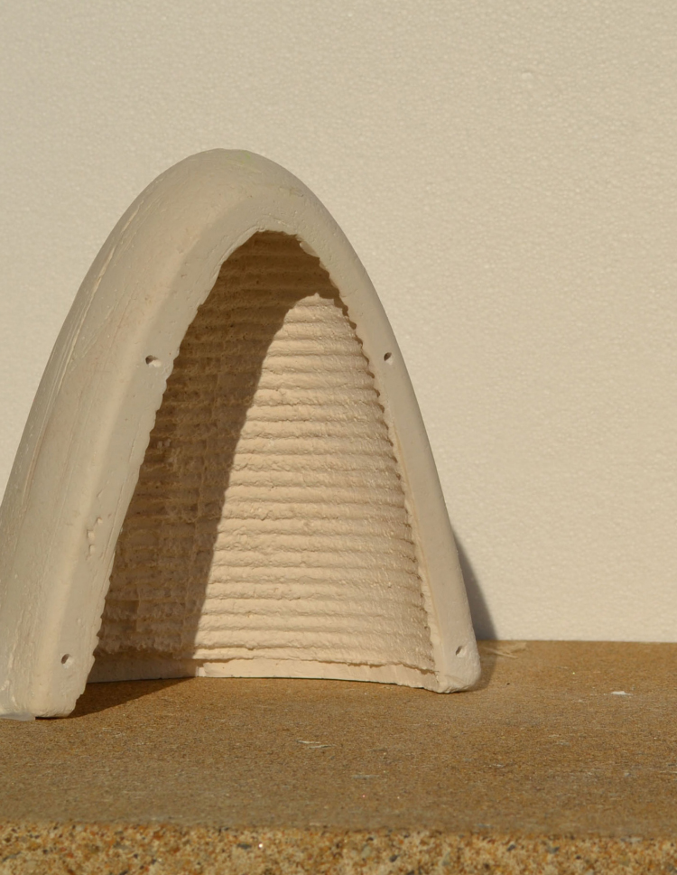
We explored the allometric potential of a funicular catenary form to both modulate interior climatic…