Inaugural Experimental Postdoctoral Fellows at the GSD Research Health, Wellness, and Sustainable Materials Nov 4, 2025Read More Read More
Sarah Whiting Accepts 2026 AIA/ACSA Topaz Medallion for Excellence in Architectural Education Dec 10, 2025Read More Read More
The Value Is in the Differences: Wannaporn Phornprapha on Culture and Collaboration Jan 22, 2026Read More Read More
Inside the Dream Factory: GSD Students Design for Opera Elena Manferdini on using AI-forward design to engage with opera from a contemporary perspective. Author: Kyra DaviesMar. 6, 2026
Ground Shift: Glacial Flour and the Future of Urbanism in Greenland Students explore how glacial flour—a byproduct of melting ice—could reshape Nuuk’s urban future, linking climate change, local economies, and design. Author: A. Krista SykesMar. 27, 2026
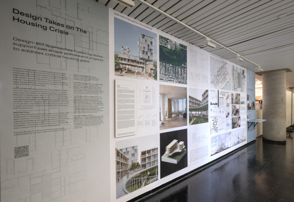
Design Takes on The Housing Crisis Dean's OfficeApr. 21 – Aug. 3, 2026 Architecture Urban Planning and Design
Designers of Mountain and Water: Alternative Landscapes for a Changing Climate Druker Design GalleryJan. 20 – May 15, 2026 Landscape Architecture
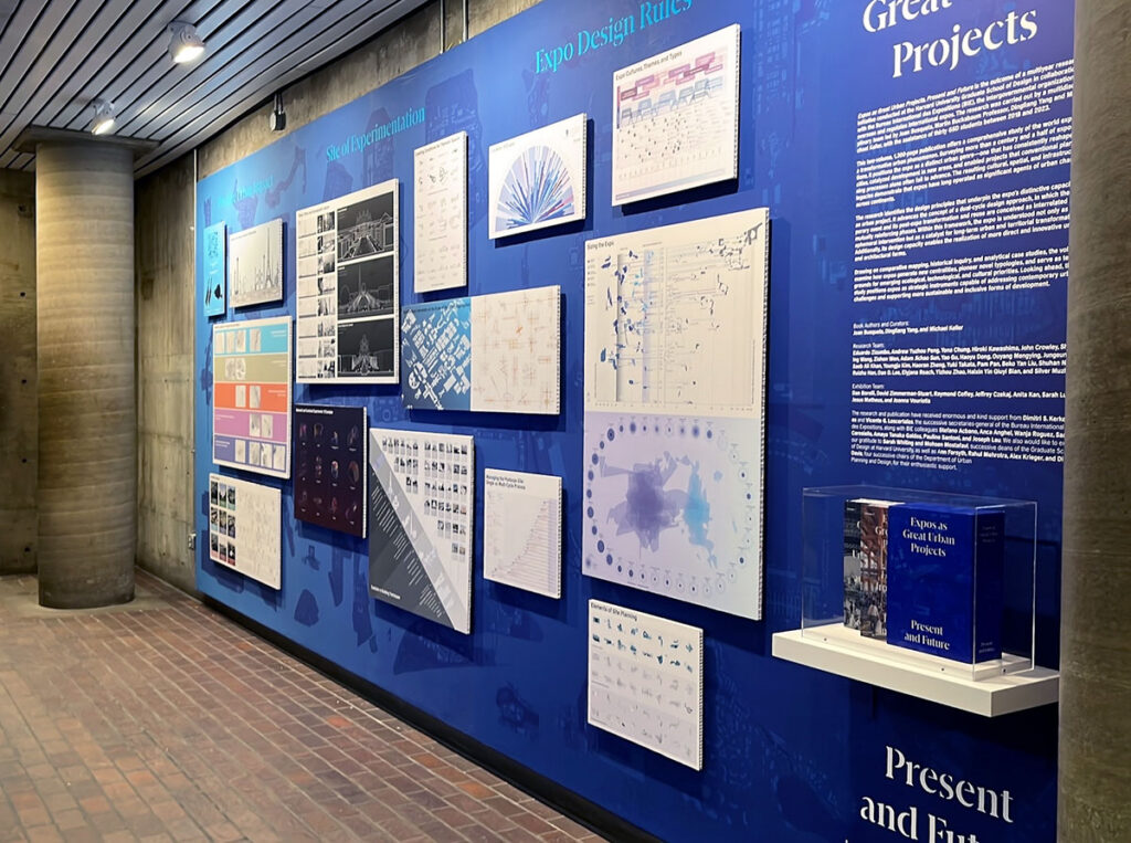
Expos as Great Urban Projects, Present and Future Experiments WallApr. 6 – May 15, 2026 Urban Planning and Design
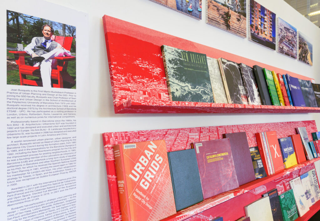
Joan Busquets, First Martin Bucksbaum Professor in Practice of Urban Planning and Design Frances Loeb LibraryApr. 6 – May 15, 2026 Urban Planning and Design
Design Takes on The Housing Crisis Dean's OfficeApr. 21 – Aug. 3, 2026 Architecture Urban Planning and Design