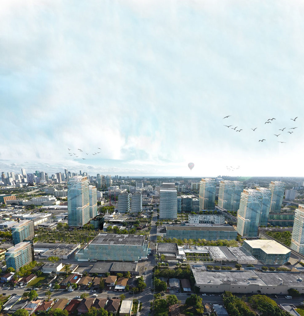
Climate Dense[city]: Building TOD on Higher Ground in Allapattah
by Kenner Carmody (MDes ’19, Energy & Environments) This research aims to visualize the required…
by Kenner Carmody (MDes ’19, Energy & Environments) This research aims to visualize the required…
by Chengzhang Zhang (MLA ’19) and Qiaoqi Dai (MLA ’19) This project focuses on the…
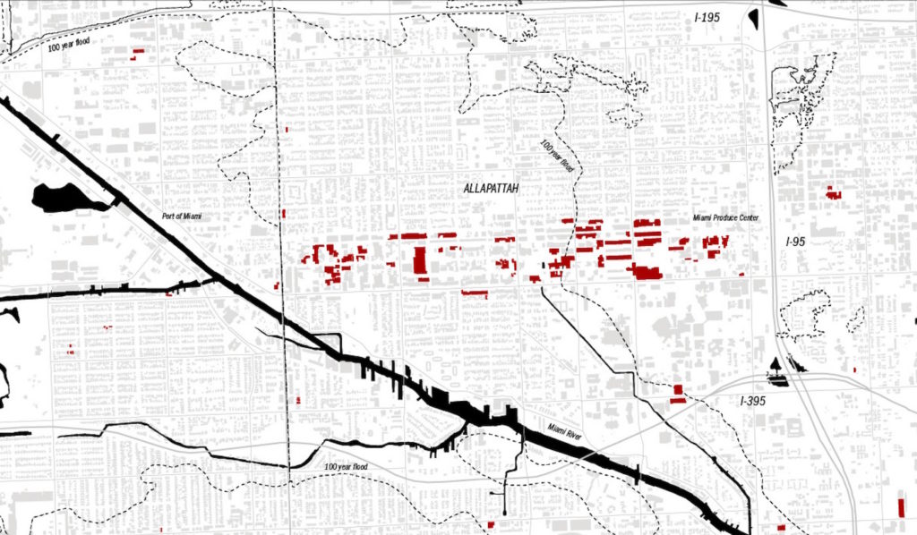
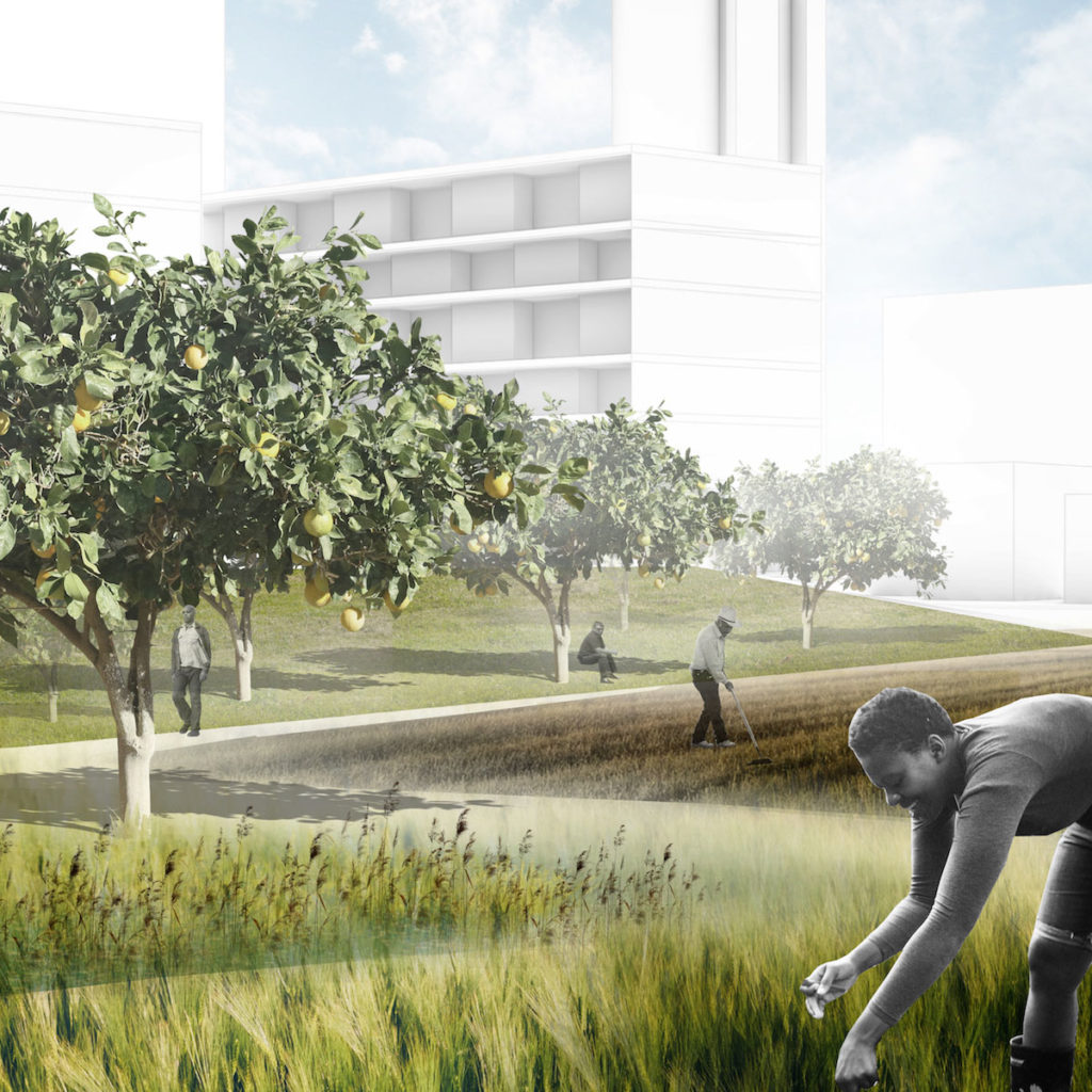
by Daví Parente Schoen (MLA/MUP ’19) Food distribution and processing in Miami is clustered around…
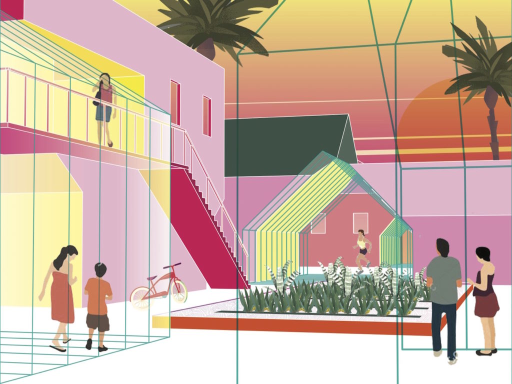
Evan Shieh (MAUD ’19) and Panharith Ean (MArch ’20) How do we design around the…
Ting Liang (MLA I AP, MAUD, ’19) and Zishen Wen (MLA I AP, ’19) Our…
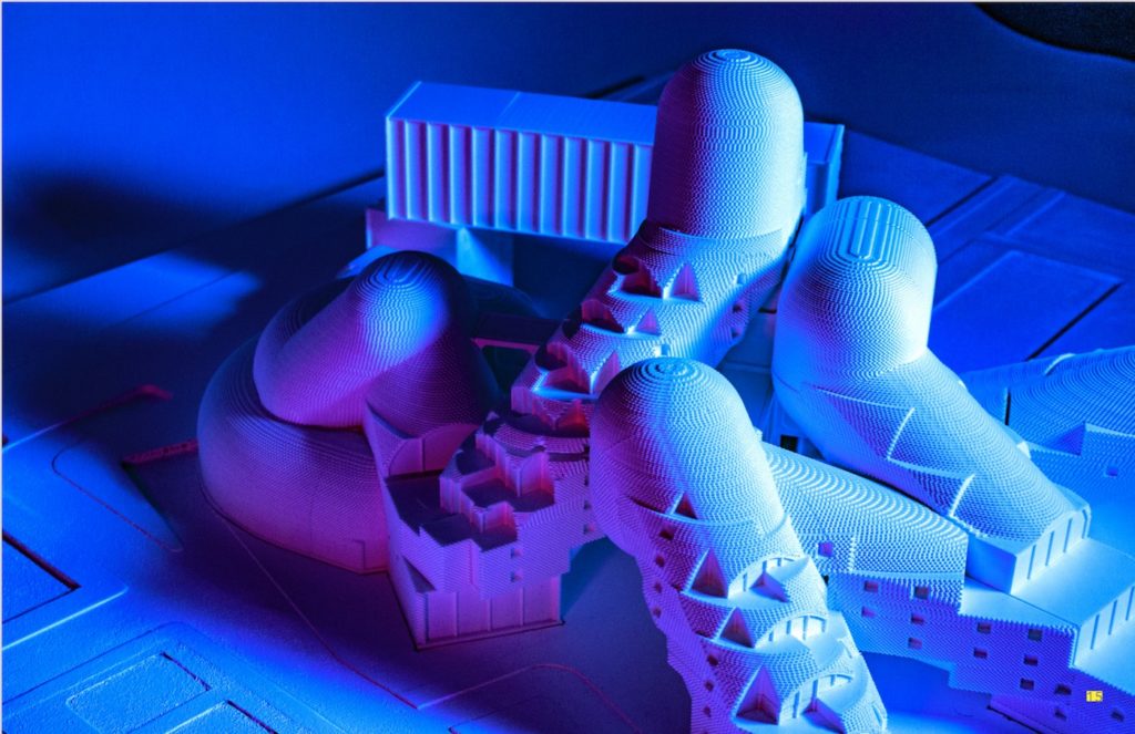
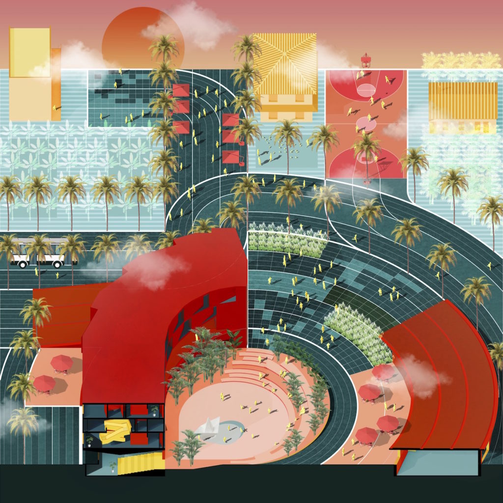
by Son Vu (MArch I ’21) and Alex Yueyan Li (MArch I AP ’21) —…
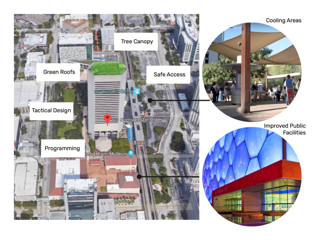
by Cesar Castro (MUP/MDes ’19, Risk and Resilience) The aim of this analysis will be to…
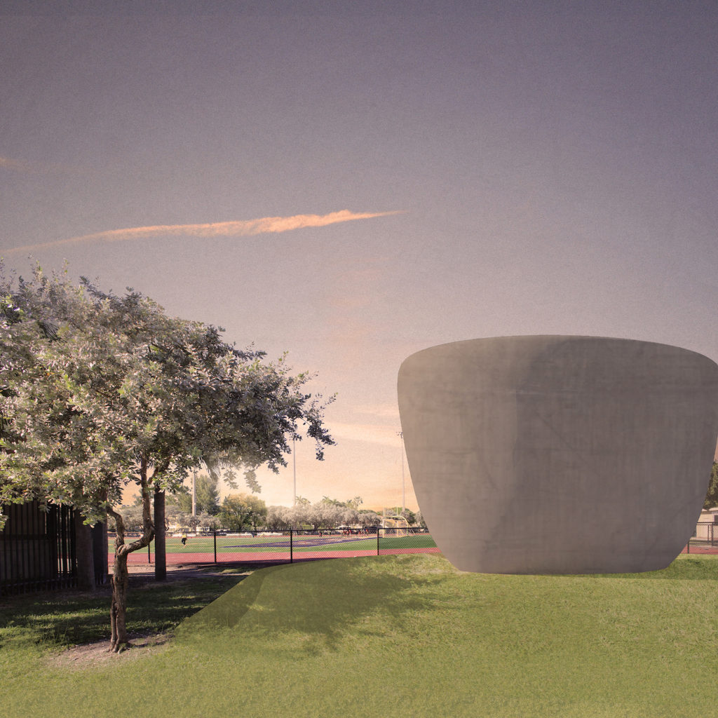
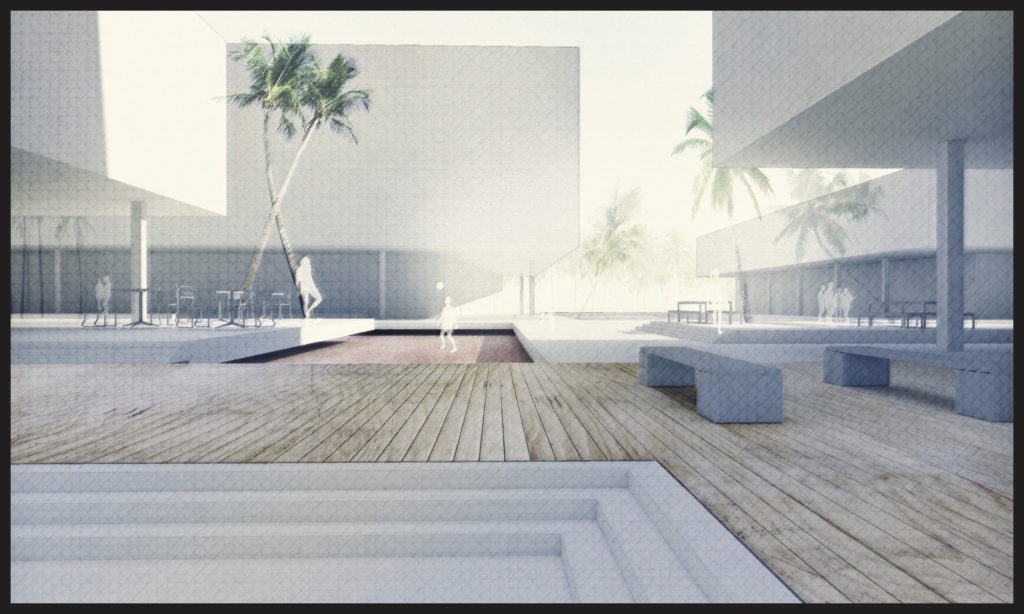
by Izgi Uygur (MLA ’18) In subtropical climates such as Florida’s, there is either too much…
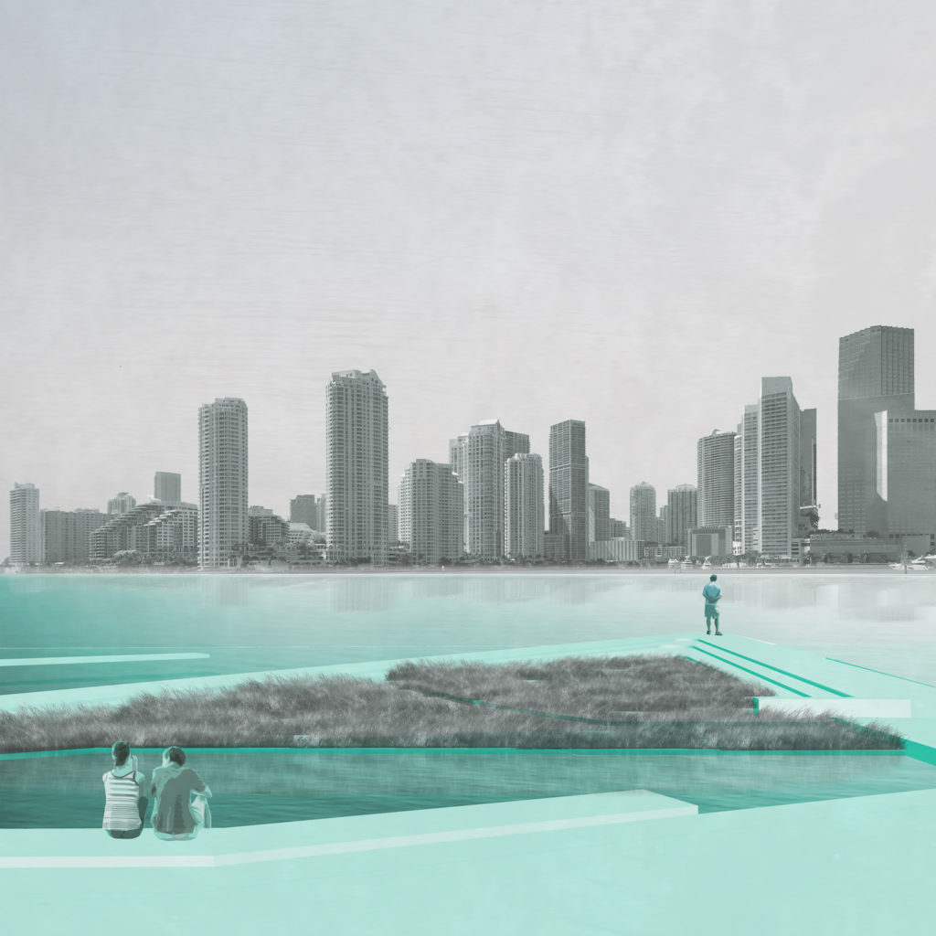
by Chris Merritt (MLA ’17) The Miami Beach Baywalk will serve as an infrastructure for storm…
by Daniel Widis (MLA ’16) Tenuously positioned as an informal slip of sand and coral…