Future of the American City
Manual of Biogenic House Sections
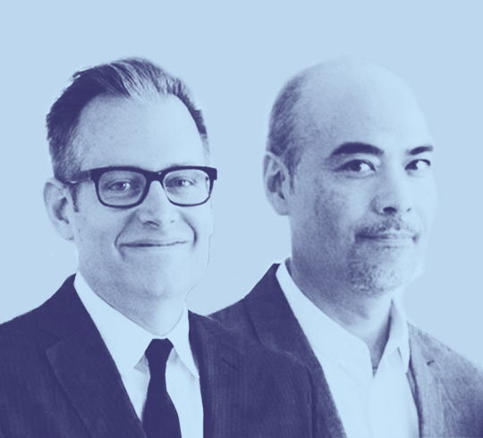
Architects Paul Lewis and Marc Tsurumaki, principals of the New York-based practice LTL Architects, join Charles Waldheim to discuss their recent book Manual of Biogenic House Sections.
How to Listen
You can listen to all available episodes on the Future of the American City website or or subscribe to the series via one of the providers listed above.
About the Show
An initiative of the Harvard Graduate School of Design that presents alternative futures and convenes conversations about how we live, where we live. Supported by the John S. and James L. Knight Foundation and generous donors to the American Cities Fund. Future of the American City is curated by the Office for Urbanization.