Collins Reservoir

Kent Hipp (MLA I ’17)
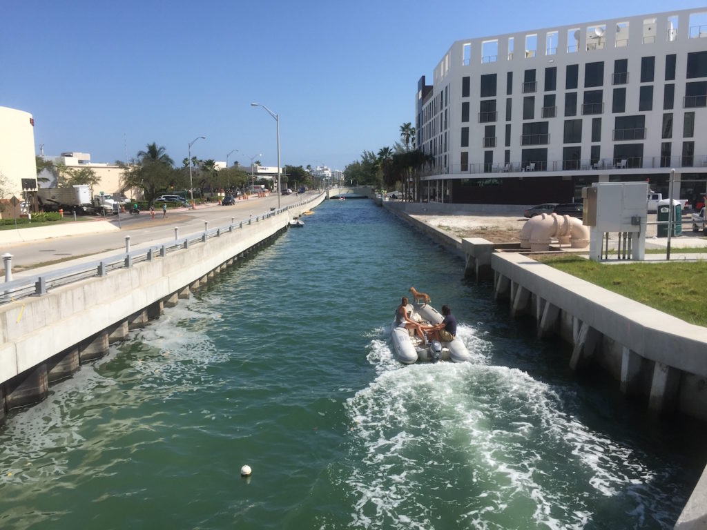
In response to climate change and rising sea levels, this project re-imagines Miami Beach’s Collins Canal as a stormwater reservoir with the capacity to alleviate flooding and generate new urban form. First cut in 1912 to move produce across the island, today the Collins Canal abuts a number of public facilities – schools, parks, gardens and memorials. The reservoir links these valuable sites, and creates a continuous public realm, which is activated by the daily and seasonal changes of the ocean. Adjustable tidal gates placed at either end of the canal are synchronized with pump stations – allowing for the adjustment of water levels within the canal. Prior to a large rain event, water could be set a low elevation to provide storage for stormwater runoff. The reservoir’s topography responds to this fluctuation, creating micro-climates for cypress and mangrove plantings, as well as interesting spaces for walking and gathering. Along this blurred water’s edge, new elevated buildings connect the city fabric to the reservoir and create an urban district which is adapted to climate uncertainty.