2020 Masters in Landscape Architecture Thesis Prize: Chelsea Kilburn’s “That Sinking Feeling: Subsidence Parables of the San Joaquin Valley”
by Chelsea Kilburn (MLA I AP ’20) — Recipient of the Landscape Architecture Thesis Prize
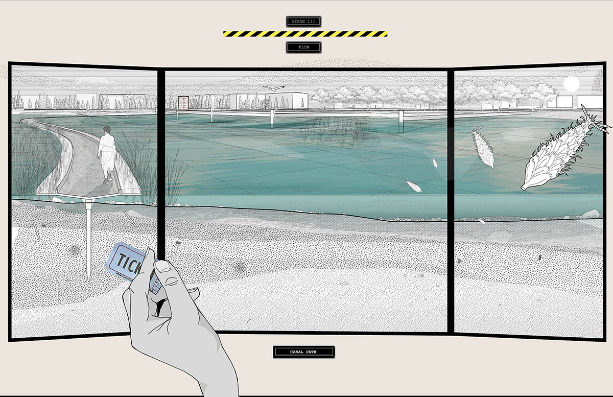
This thesis explores the dissonance between the naturally blurry edge of groundwater and the structures of management that define the surface landscape of California’s San Joaquin Valley. In this region, extreme groundwater extraction causes land subsidence, thus physically and directly altering topography. The project frames a reality where imminent coastal migration leads to a soaring urban population in the Valley, further intensifying the need for extraction that not only provides drinking water but sustains some of the nation’s most productive agricultural ground. Sites of intervention consider local groundwater management typologies and imagine near-future scenarios in which design of the landscape can be used to rethink subsidence not as the effect of groundwater extraction but as a generative infrastructural force able to meaningfully shape the ground for the retention, remediation, and distribution of water that can then be utilized in the recharge of a critically overdrafted aquifer as well as in a speculative subversion of California’s constructed natural history.
Benchmark of maximum subsidence in the near-future San Joaquin Valley, year 2050.
** image is a reference to USGS image here: https://www.usgs.gov/media/images/location-maximum-land-subsidence-us-levels-1925-and-1977
Citation: Poland, Joseph F. “Approximate Location of Maximum Subsidence in the United States Identified by Research Efforts of Dr. Joseph F. Poland (Pictured). Signs on Pole Show Approximate Altitude of Land Surface in 1925, 1955, and 1977. The Site Is in the San Joaquin Valley Southwest of Mendota, California.” Location of Maximum Land Subsidence in U.S. Levels at 1925 and 1977, USGS, 8 Mar. 2018, https://www.usgs.gov/media/images/location-maximum-land-subsidence-us-levels-1925-and-1977.
The San Joaquin Valley viewed from the east to the west over the State Water Project canal with the proposed brine line running to San Francisco Bay. This image attempts to convey the multitude of infrastructures that mediate the ground and water management apart from channelized delivery as well as the depth of California’s constructed natural history.
Like the Kettleman City site, change takes place over a century. The site steward manages extraction and grading while fairgoers visit the site cyclically, engaging with planted material on site and navigating the changing ground via raised boardwalks and platforms.
At this site, the parable of density at the Fresno Fairgrounds, a path on what was formerly a canal for water floats above the water of a lowering ground. This is a scene of the last stage of the life of the site, where groundwater extraction and site management through regrading have transformed this place into a new type of artificial recharge project.
At the Fresno site, the decommissioned racetrack neighboring the fairgrounds serves as a testing place, but here the management of groundwater is made part of the midway—a spectacle of technoengineering where extraction and grading practices meet and blur. Shown here is the end stage of the site with a newly created topography.
Over a century, the site is activated by subsidence due to groundwater extraction, and one side of the site slowly loses elevation with time.
At this site, the parable of putridity at Kettleman City, a rest stop looks out over a gradually subsiding territory. This is a scene in the first stage of the life of the site, where water from the brine line is allowed to flood the area and flow downhill.
This site is an extension of the Kettleman City rest stop, a place where truckers can break on their trip through the valley but also a place of exploration and field work. Here a resting place is situated near the top of the site to look out over the canal to a site of extraction, which is marked by a monitoring tower. At the south of the site the brine line is daylit to introduce salt and water, which is gradually remediated as it flows through a constructed wetland back to the subsiding side.
Two sites were selected as a type of proving ground to study the interface between ‘manufactured’ and ‘natural’ landscapes and their relationship to groundwater, one at Kettleman City, and the other at the Fresno Fairgrounds.
The San Joaquin Valley, shown here, can be divided roughly into three parts, with the State Water Project canals flowing through the middle.