Atlas for a City-Region: Imagining the Post-Brexit Landscapes of the Irish Northwest
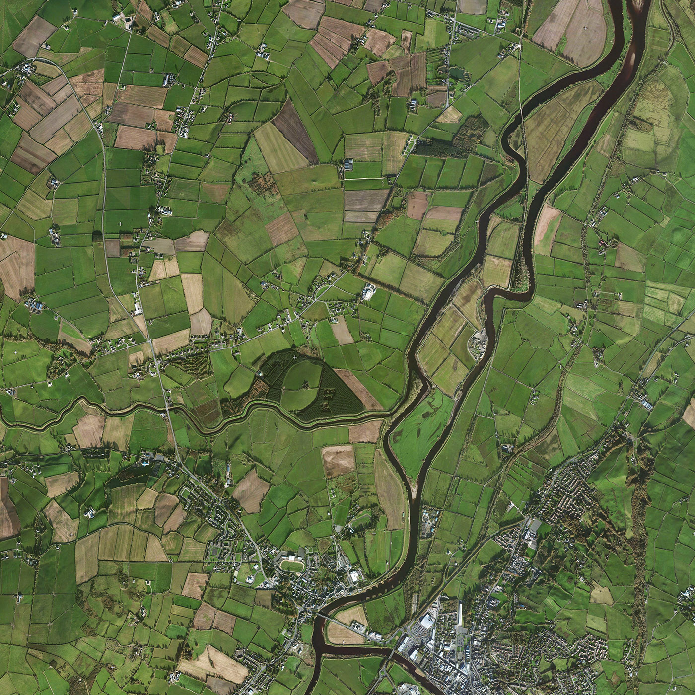
Centered on the northwest of Ireland, this eighteen-month long research project investigates how a cross-border city-region can be shaped in light of the economic, political and social realities of Brexit. Integrated within the teaching of the department of landscape architecture at the Harvard Graduate School of Design, and engaging faculty from across the university, the project asks how landscape can be an agent in the shaping of the cross-border city-region. Located between the counties of Derry, Donegal and Tyrone the cross-border city-region has a population of approximately 350,000, and growing. Through research seminar and option studio, the multi-scalar project will address the design of smaller urban spaces right up to the design of the region itself. The project will demonstrate how the post-conflict Northern Irish landscapes can adapt to post-Brexit conditions, and how landscape architecture can be instrumental in shaping not just the physical landscape but the new political landscape too.
Derry and Strabane District Council, Northern Ireland, Sponsor
Donegal County Council, Ireland, Co-sponsor
Related
-
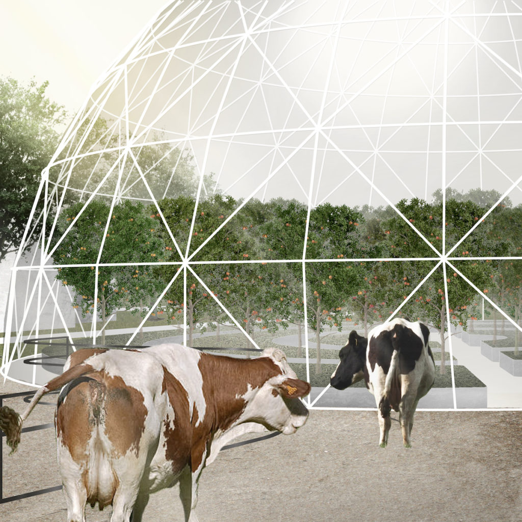
At The Dinner Table — Green to Orange: Building Ireland’s food security and identity
Jiyun Jeong (MLA I '19), Niall Kirkwood, Gareth Doherty