Atlas for the Medina of Tunis: Landscape Architecture as a Catalyst for Urban Regeneration
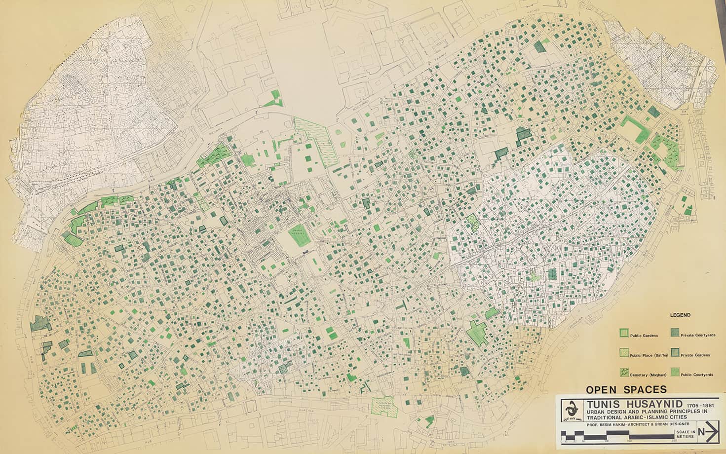
This project reimagines public spaces in the Medina of Tunis, Tunisia. Taking a long-term view over a five to 50–year timespan, we ask how three interrelated areas of focus—housing, health, and changing climates—intersect with the urban landscape. The project especially considers the nocturnal uses of public spaces as a response to the rising temperatures associated with changing climates. Integrated within the Critical Landscapes Design Lab, we take a landscape architectural approach to the design of urban spaces. Informed by landscape fieldwork, this approach is deeply grounded in Tunis’s environmental, economic, human, and political ecologies. Through this grounded research, we engage with the Medina and its residents to better understand everyday life and spatial patterns that do not appear in official statistics, documents, or records. Knowledge gained from this landscape fieldwork informs design proposals for the reactivation of spaces inspired by the Medina’s current and future material needs.
Materia Inc., Sponsor