Over : Under : Through—Immersive Landscape as Resilient Infrastructure
Kira Sargent (MLA I ’17)
Recipient of ASLA Certificate of Honor and ASLA Certificate of Merit
We now know, overwhelmingly, that our urban freeways were routed through low-income neighborhoods. Instead of connecting us, highway decision makers separated us.
—Anthony Foxx, US Secretary of Transportation (2016)
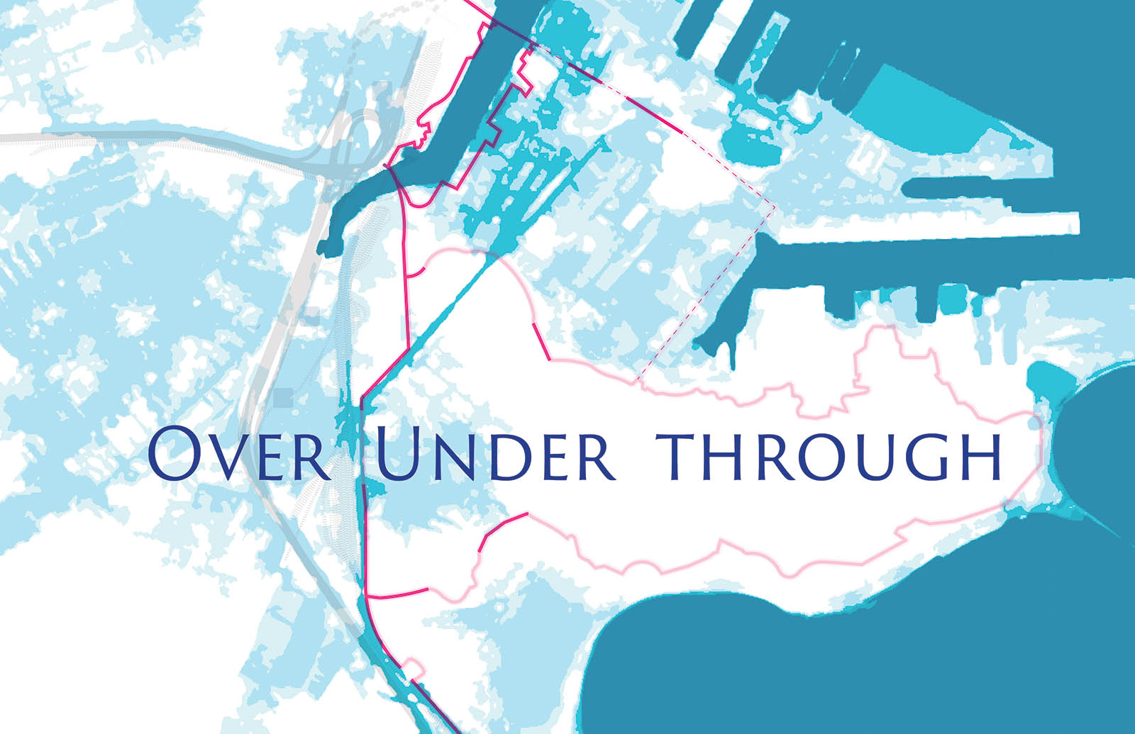
20th-century Boston witnessed many major infrastructural achievements: railyards over landfills, new piers and sea walls, the Mass Pike, the Southeast Expressway, and the Central Artery Project. Over time, however, it has become clear that these infrastructural projects are also physical and symbolic barriers to productive urban planning, often leaving communities and their residents disconnected.
These barriers remain in 21st-century Boston. The city’s booming economy and targeted planning efforts are gentrifying neighborhoods in areas once characterized by abandoned industrial buildings and underutilized surface parking lots. Increasing land value and income bifurcation drive luxury development in lieu of more public or affordable projects. In addition to these challenges, Boston also faces the monumental tasks of preparing for the coming century of rising sea levels, increased rainfall and storm intensity, and unprecedented heatwaves.
Over : Under : Through responds to these challenges through the proposal of a multifunctional transit network embedded in dynamic public landscapes. These interventions are planned with the consolidation of low-density, light-industrial zones, making room for lower-cost housing and mixed-use neighborhoods within reach of downtown. The project works across scales to articulate several sites at the intersection of connective infrastructure, public landscapes, and climate change adaptation. This multiscalar approach aspires to offer a more inclusive, engaging, and socially constructive Boston for the 21st century.